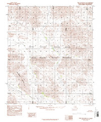
1983 Map of Table Mountain C-3
USGS Topo · Published 1986About this map
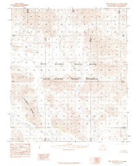
Coleen River winds through the southern reaches of this landscape, a prominent waterway within the Arctic National Wildlife Refuge. The terrain is characterized by the significant uplift of Conglomerate Mountain and the distinctively labeled Knoll further east. This 1983 edition, compiled from 1974 aerial photography, documents the remote reaches of the North Slope Borough during a period of high-latitude conservation efforts. The map reveals an untouched wilderness where the Arctic Wildlife Refuge Wilderness designation reflects the era's land management priorities. With no roads or trails indicated in the road legend, the sheet provides a precise record of natural drainage patterns and topographical relief in a region where human footprint remained remarkably light.
Find a feature on this map
7 named features on this map. Tap any name to fly to it.
Don’t see what you’re looking for? This feature index may not catch every label — zoom into the map to look around manually.
Map Details
Editions of this 1983 Table Mountain C-3 Map
2 editions found
Other maps of this area

1951 · Table Mountain
USGS Topo · 1:250,000

1956 · Table Mountain
USGS Topo · 1:250,000

1964 · Table Mountain
USGS Topo · 1:250,000
1972 · Table Mountain B-3
USGS Topo · 1:63,360
1972 · Table Mountain B-4
USGS Topo · 1:63,360
1972 · Table Mountain B-2
USGS Topo · 1:63,360

1983 · Table Mountain D-2
USGS Topo · 1:63,360
1983 · Table Mountain D-4
USGS Topo · 1:63,360
1983 · Table Mountain D-3
USGS Topo · 1:63,360
1983 · Table Mountain C-3
USGS Topo · 1:63,360