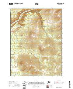
2018 Map of Coleen B-1 SE
USGS Topo · Published 2018About this map
Porcupine River flows through the northwest corner of this sub-arctic terrain, where it meets the winding course of the Campbell River. This 2018 survey reveals a landscape largely defined by elevation and waterway corridors, with the land rising sharply toward the northeast. The peak of Canalaska Mtn stands as the primary landmark near the eastern boundary, overlooking a complex network of ridgelines and drainages. The map provides a clear look at the Public Land Survey System grid across these townships, capturing the precise transition from river valley to higher ground in this part of the Yukon-Koyukuk Census Area.
Find a feature on this map
9 named features on this map. Tap any name to fly to it.
Don’t see what you’re looking for? This feature index may not catch every label — zoom into the map to look around manually.
Map Details
Editions of this 2018 Coleen B-1 SE Map
This is the sole edition of this map. No revisions or reprints were ever made.
Other maps of this area

1951 · Coleen
USGS Topo · 1:250,000

1956 · Coleen
USGS Topo · 1:250,000
1956 · Coleen B-1
USGS Topo · 1:63,360

1956 · Coleen A-1
USGS Topo · 1:63,360
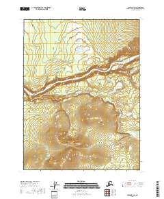
2018 · Coleen B-1 SW
USGS Topo · 1:25,000
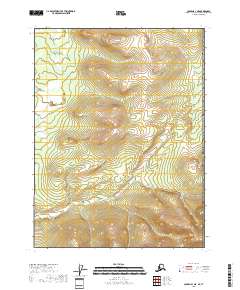
2018 · Coleen A-1 NE
USGS Topo · 1:25,000
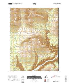
2018 · Coleen B-1 NE
USGS Topo · 1:25,000
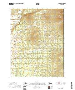
2018 · Coleen B-1 NW
USGS Topo · 1:25,000
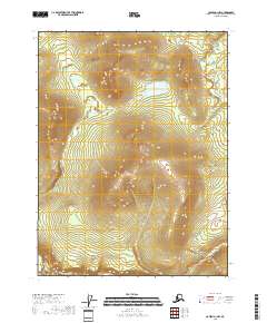
2018 · Coleen A-1 NW
USGS Topo · 1:25,000