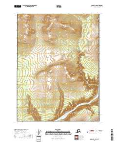
2018 Map of Coleen B-1 NE
USGS Topo · Published 2018About this map
The Porcupine River carves a deep, serpentine path through this interior landscape of the Yukon-Koyukuk Census Area. This segment of the river, located just south of the Arctic Circle, exhibits a complex pattern of incised meanders that reveal the dramatic elevation changes of the surrounding terrain. Joining the system from the northwest, White Mountain Cr flows through the high valleys of the Davidson Mountains, providing a primary drainage for the central portion of the quadrangle. The map details the Public Land Survey System grid, specifically identifying t30n r30e and surrounding townships, which were established to organize these remote northern territories. The lack of man-made structures or improved roads underscores the isolation of this river corridor in the early 21st century.
Find a feature on this map
6 named features on this map. Tap any name to fly to it.
Don’t see what you’re looking for? This feature index may not catch every label — zoom into the map to look around manually.
Map Details
Editions of this 2018 Coleen B-1 NE Map
This is the sole edition of this map. No revisions or reprints were ever made.
Other maps of this area

1951 · Coleen
USGS Topo · 1:250,000

1956 · Coleen
USGS Topo · 1:250,000
1956 · Coleen B-1
USGS Topo · 1:63,360
1990 · Coleen C-1
USGS Topo · 1:63,360
2018 · Coleen C-1 SW
USGS Topo · 1:25,000
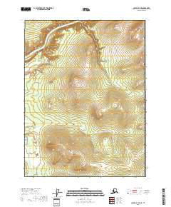
2018 · Coleen B-1 SE
USGS Topo · 1:25,000
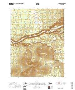
2018 · Coleen B-1 SW
USGS Topo · 1:25,000
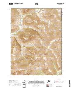
2018 · Coleen C-1 SE
USGS Topo · 1:25,000
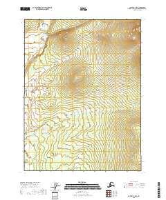
2018 · Coleen B-1 NW
USGS Topo · 1:25,000