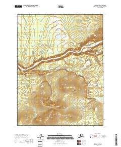
2018 Map of Coleen B-1 SW
USGS Topo · Published 2018About this map
The Porcupine River carves a deep, winding path through the interior of the Yukon-Koyukuk Census Area, defining the topography of this subarctic landscape. Flowing from east to west, the river passes through the Upper Ramparts, a section of the corridor marked by distinctive elevation changes and sharp contour intervals. South of this main waterway, the Campbell River meanders across the lower terrain before its eventual confluence beyond the sheet's western boundary. This survey by the U.S. Geological Survey captures a wild and unpopulated expanse of the eastern Alaska wilderness, where the primary movement is dictated by these significant drainage systems. The landscape is dominated by a series of high ridges and narrow valleys, reflecting a geography largely untouched by permanent settlement or infrastructure development.
Find a feature on this map
8 named features on this map. Tap any name to fly to it.
Don’t see what you’re looking for? This feature index may not catch every label — zoom into the map to look around manually.
Map Details
Editions of this 2018 Coleen B-1 SW Map
This is the sole edition of this map. No revisions or reprints were ever made.
Other maps of this area

1951 · Coleen
USGS Topo · 1:250,000

1956 · Coleen
USGS Topo · 1:250,000

1956 · Coleen B-2
USGS Topo · 1:63,360
1956 · Coleen B-1
USGS Topo · 1:63,360

1956 · Coleen A-1
USGS Topo · 1:63,360

1956 · Coleen A-2
USGS Topo · 1:63,360
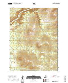
2018 · Coleen B-1 SE
USGS Topo · 1:25,000
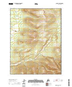
2018 · Coleen A-1 NE
USGS Topo · 1:25,000
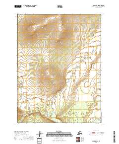
2018 · Coleen B-2 NE
USGS Topo · 1:25,000
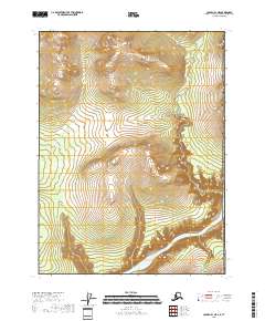
2018 · Coleen B-1 NE
USGS Topo · 1:25,000