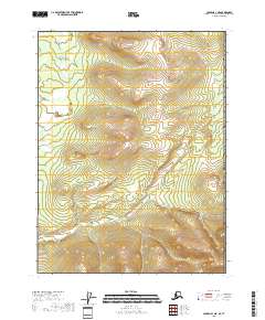
2018 Map of Coleen A-1 NE
USGS Topo · Published 2018About this map
Campbell River winds through the northwestern reaches of this uninhabited landscape in the Yukon-Koyukuk Census Area. This 2018 survey emphasizes the natural terrain, dominated by significant elevation changes across several townships, including t28n r30e and t27n r30e. The absence of roads, settlements, or structures reflects the wilderness character of the region near the international border. The mapping provides a technical view of the drainage patterns and ridge lines that define this portion of the Coleen river system basin, offering a baseline for environmental study or backcountry navigation in one of the most isolated parts of northern Alaska.
Find a feature on this map
7 named features on this map. Tap any name to fly to it.
Don’t see what you’re looking for? This feature index may not catch every label — zoom into the map to look around manually.
Map Details
Editions of this 2018 Coleen A-1 NE Map
This is the sole edition of this map. No revisions or reprints were ever made.
Other maps of this area

1951 · Coleen
USGS Topo · 1:250,000

1956 · Coleen
USGS Topo · 1:250,000
1956 · Coleen B-1
USGS Topo · 1:63,360

1956 · Coleen A-1
USGS Topo · 1:63,360
2018 · Coleen B-1 SE
USGS Topo · 1:25,000
2018 · Coleen B-1 SW
USGS Topo · 1:25,000
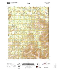
2018 · Coleen A-1 SW
USGS Topo · 1:25,000
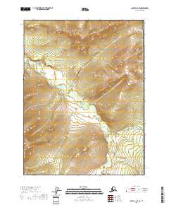
2018 · Coleen A-1 SE
USGS Topo · 1:25,000
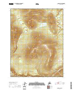
2018 · Coleen A-1 NW
USGS Topo · 1:25,000