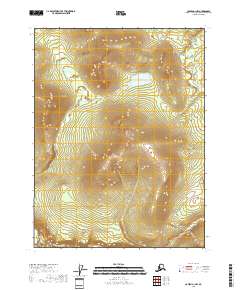
2018 Map of Coleen A-1 NW
USGS Topo · Published 2018About this map
Campbell River and Salmon Trout River define the hydrology of this interior Alaskan landscape, which remains largely untouched by development as of the early 21st century. The map depicts a wilderness of high-elevation plateaus and steep drainages within the Yukon-Koyukuk Census Area. While modern surveying techniques from agencies like the U.S. Geological Survey and the Bureau of Land Management provide precise Township and Range boundaries, such as t28n r29e, the ground itself shows no recorded road infrastructure or permanent settlements. The presence of the Salmon Trout River at the southern edge suggests the natural corridors used for millennia by indigenous travelers and wildlife in the Porcupine River basin.
Find a feature on this map
6 named features on this map. Tap any name to fly to it.
Don’t see what you’re looking for? This feature index may not catch every label — zoom into the map to look around manually.
Map Details
Editions of this 2018 Coleen A-1 NW Map
This is the sole edition of this map. No revisions or reprints were ever made.
Other maps of this area

1951 · Coleen
USGS Topo · 1:250,000

1956 · Coleen
USGS Topo · 1:250,000

1956 · Coleen B-2
USGS Topo · 1:63,360
1956 · Coleen B-1
USGS Topo · 1:63,360

1956 · Coleen A-1
USGS Topo · 1:63,360

1956 · Coleen A-2
USGS Topo · 1:63,360
2018 · Coleen A-2 SE
USGS Topo · 1:25,000
2018 · Coleen B-1 SE
USGS Topo · 1:25,000
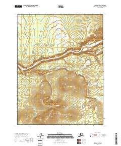
2018 · Coleen B-1 SW
USGS Topo · 1:25,000
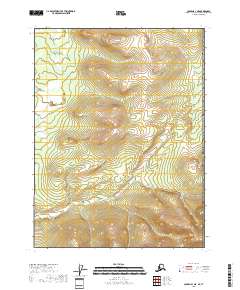
2018 · Coleen A-1 NE
USGS Topo · 1:25,000