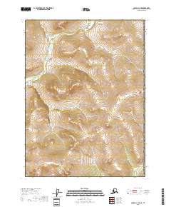
2018 Map of Coleen C-1 SE
USGS Topo · Published 2018About this map
Rapid River flows through the northern reaches of this landscape in the Yukon-Koyukuk region, carving a path through the high-elevation terrain. This 2018 survey illustrates a section of Alaska defined by its complex topography and lack of established infrastructure, centered on the intersection of several townships including T32n R29e and T31n R30e. The map serves as a primary record of the drainage patterns and land divisions within this portion of the Coleen river system. Outside of the primary waterway, the area consists of high ridges and narrow valleys, with the public land survey system lines providing the only structural overlay on this unpopulated expanse of the Alaska-Yukon borderlands.
Find a feature on this map
5 named features on this map. Tap any name to fly to it.
Don’t see what you’re looking for? This feature index may not catch every label — zoom into the map to look around manually.
Map Details
Editions of this 2018 Coleen C-1 SE Map
This is the sole edition of this map. No revisions or reprints were ever made.
Other maps of this area

1951 · Coleen
USGS Topo · 1:250,000

1956 · Coleen
USGS Topo · 1:250,000
1956 · Coleen B-1
USGS Topo · 1:63,360
1990 · Coleen C-1
USGS Topo · 1:63,360
2018 · Coleen C-1 SW
USGS Topo · 1:25,000
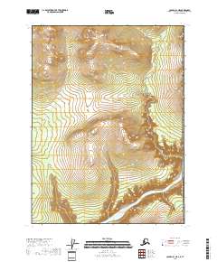
2018 · Coleen B-1 NE
USGS Topo · 1:25,000
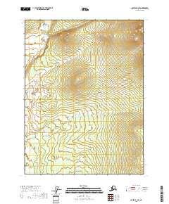
2018 · Coleen B-1 NW
USGS Topo · 1:25,000
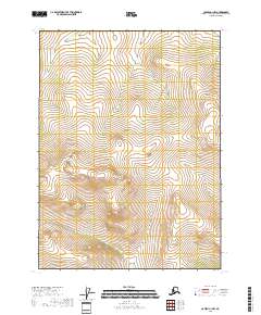
2018 · Coleen C-1 NW
USGS Topo · 1:25,000
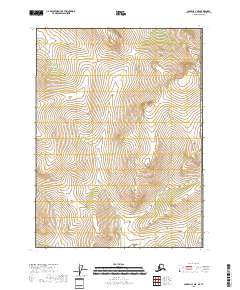
2018 · Coleen C-1 NE
USGS Topo · 1:25,000