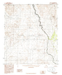
1983 Map of Arctic B-1
USGS Topo · Published 1986About this map
Arctic National Wildlife Refuge encompasses the vast majority of this 1980s terrain, reflecting federal land management following the Alaska National Interest Lands Conservation Act. The landscape is defined by the high elevations of Brushman Mountain and Little Brushman in the northeast, while the Wilderness Boundary meanders alongside the drainage of Woman Creek. The western portion of the sheet is marked by the Koness River, which flows through a region devoid of roads or permanent settlements at the time of this 1974 photography. This provisional edition from the U.S. Geological Survey captures the topographic character of the northern Brooks Range foothills before further contemporary shifts in North Slope administrative boundaries, specifically highlighting the intersection of the Slope Borough line with these protected federal lands.
Find a feature on this map
7 named features on this map. Tap any name to fly to it.
Don’t see what you’re looking for? This feature index may not catch every label — zoom into the map to look around manually.
Map Details
Editions of this 1983 Arctic B-1 Map
2 editions found
Other maps of this area

1951 · Arctic
USGS Topo · 1:250,000

1951 · Table Mountain
USGS Topo · 1:250,000

1956 · Table Mountain
USGS Topo · 1:250,000

1956 · Arctic
USGS Topo · 1:250,000

1964 · Table Mountain
USGS Topo · 1:250,000
1972 · Arctic A-1
USGS Topo · 1:63,360
1972 · Table Mountain A-5
USGS Topo · 1:63,360
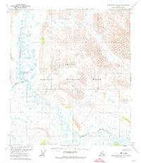
1972 · Table Mountain B-5
USGS Topo · 1:63,360

1972 · Arctic A-2
USGS Topo · 1:63,360
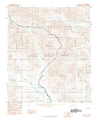
1983 · Arctic C-1
USGS Topo · 1:63,360