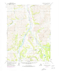
1971 Map of Chandalar C-6
USGS Topo · Published 1977About this map
The Trans-Alaska Pipeline is a focal point of this 1970s survey, shown snaking through the valley of the Middle Fork Koyukuk River. This period marks the early infrastructure phase for the North Slope oil boom, evidenced by the presence of Dietrich Camp and the Dietrich Airport situated along the Dietrich River. The map captures a moment when industrial development met the formidable terrain of the Brooks Range, dominated here by the steep elevations of Sukakpak Mountain and Wiehl Mountain.
Find a feature on this map
28 named features on this map. Tap any name to fly to it.
Don’t see what you’re looking for? This feature index may not catch every label — zoom into the map to look around manually.
Map Details
Editions of this 1971 Chandalar C-6 Map
2 editions found
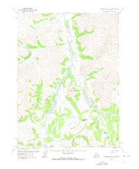
Other maps of this area

1951 · Chandalar
USGS Topo · 1:250,000

1951 · Wiseman
USGS Topo · 1:250,000

1956 · Chandalar
USGS Topo · 1:250,000

1956 · Wiseman
USGS Topo · 1:250,000

1964 · Wiseman
USGS Topo · 1:250,000

1964 · Chandalar
USGS Topo · 1:250,000
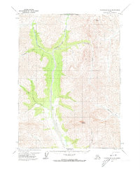
1971 · Chandalar D-6
USGS Topo · 1:63,360
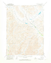
1971 · Chandalar D-5
USGS Topo · 1:63,360

1971 · Chandalar B-5
USGS Topo · 1:63,360

1971 · Chandalar C-5
USGS Topo · 1:63,360