
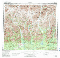
1956 Map of Wiseman
USGS Topo · Published 1959About this map
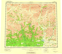
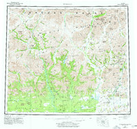
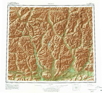
Wiseman and Coldfoot serve as the primary human anchors in this 1950s study of the Brooks Range interior. The landscape is dominated by the Endicott Mountains, where the headwaters of the John River and various forks of the Koyukuk River carve through the terrain. The presence of numerous placer mines and isolated cabins near Wiseman Creek and Nolan Creek reflects the region's enduring mining heritage, while the Winter Trail and nascent Hickel Highway provide the only land-based connections through the wilderness.
Find a feature on this map
159 named features on this map. Tap any name to fly to it.
Don’t see what you’re looking for? This feature index may not catch every label — zoom into the map to look around manually.
Map Details
Editions of this 1956 Wiseman Map
10 editions found
Other maps of this area

1951 · Hughes
USGS Topo · 1:250,000

1951 · Bettles
USGS Topo · 1:250,000

1951 · Survey Pass
USGS Topo · 1:250,000

1951 · Chandler Lake
USGS Topo · 1:250,000

1951 · Chandalar
USGS Topo · 1:250,000

1951 · Brooks
USGS Topo · 1:250,000

1951 · Beaver
USGS Topo · 1:250,000

1951 · Killik River
USGS Topo · 1:250,000

1951 · Wiseman
USGS Topo · 1:250,000

1956 · Chandalar
USGS Topo · 1:250,000