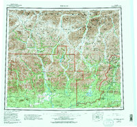
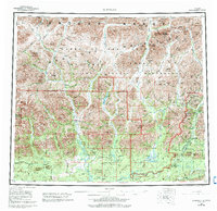
1956 Map of Wiseman
USGS Topo · Published 1993About this map
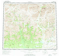
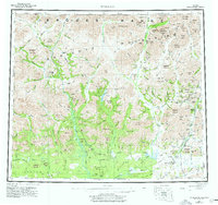
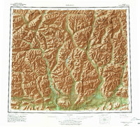
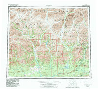
Wiseman and Coldfoot serve as the primary human outposts in this expansive stretch of the northern interior, positioned along the Middle Fork Koyukuk River. Compiled from aerial photography and digital data, the map illustrates the complex drainage basins of the Alatna River and John River as they flow south from the Brooks Range. The landscape is dominated by the Endicott Mountains, with much of the territory protected within the Gates of the Arctic National Park. Transportation is defined by the Dalton Highway corridor, which traces the eastern valleys, providing a stark contrast to the primitive Winter Trail routes and isolated Landing Strip locations used to access the remote wilderness. Numerous family-named peaks and domes, such as Smith Dome and Vermont Dome, suggest a history of prospecting and local land-use that predates the modern park boundaries.
Find a feature on this map
104 named features on this map. Tap any name to fly to it.
Don’t see what you’re looking for? This feature index may not catch every label — zoom into the map to look around manually.
Map Details
Editions of this 1956 Wiseman Map
10 editions found

Other maps of this area

1951 · Hughes
USGS Topo · 1:250,000

1951 · Bettles
USGS Topo · 1:250,000

1951 · Survey Pass
USGS Topo · 1:250,000

1951 · Chandler Lake
USGS Topo · 1:250,000

1951 · Chandalar
USGS Topo · 1:250,000

1951 · Brooks
USGS Topo · 1:250,000

1951 · Beaver
USGS Topo · 1:250,000

1951 · Killik River
USGS Topo · 1:250,000

1951 · Wiseman
USGS Topo · 1:250,000

1956 · Chandalar
USGS Topo · 1:250,000