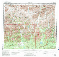
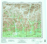
1956 Map of Wiseman
USGS Topo · Published 1993About this map
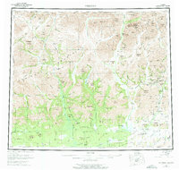
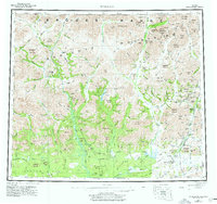
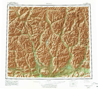
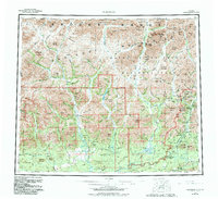
The Middle Fork Koyukuk River corridor serves as the primary artery for travel and industry in this northern landscape, dominated by the massif of the Brooks Range. This survey captures the transition of the region following the establishment of the Gates of the Arctic National Park and Wilderness in 1980. The settlement of Wiseman remains the focal point for regional activity, situated near the modern Dalton Highway and the historic Winter Trail.
Find a feature on this map
78 named features on this map. Tap any name to fly to it.
Don’t see what you’re looking for? This feature index may not catch every label — zoom into the map to look around manually.
Map Details
Editions of this 1956 Wiseman Map
10 editions found

Other maps of this area

1951 · Hughes
USGS Topo · 1:250,000

1951 · Bettles
USGS Topo · 1:250,000

1951 · Survey Pass
USGS Topo · 1:250,000

1951 · Chandler Lake
USGS Topo · 1:250,000

1951 · Chandalar
USGS Topo · 1:250,000

1951 · Brooks
USGS Topo · 1:250,000

1951 · Beaver
USGS Topo · 1:250,000

1951 · Killik River
USGS Topo · 1:250,000

1951 · Wiseman
USGS Topo · 1:250,000

1956 · Chandalar
USGS Topo · 1:250,000