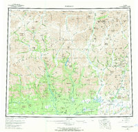
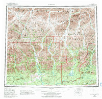
1956 Map of Wiseman
USGS Topo · Published 1970About this map
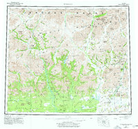
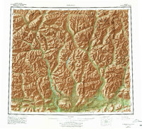
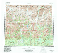
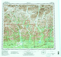
Wiseman and Coldfoot serve as the primary human outposts in this expansive landscape dominated by the Endicott Mountains. This survey, compiled from 1955 aerial photography, reveals a wilderness defined by its massive river systems, including the Koyukuk River, Alatna River, and John River. The presence of a Placer Mine near Wiseman and the remote Tramway Bar settlement along the Middle Fork suggests the persistent pull of mineral exploration in the Brooks Range.
Find a feature on this map
161 named features on this map. Tap any name to fly to it.
Don’t see what you’re looking for? This feature index may not catch every label — zoom into the map to look around manually.
Map Details
Editions of this 1956 Wiseman Map
10 editions found

Other maps of this area

1951 · Hughes
USGS Topo · 1:250,000

1951 · Bettles
USGS Topo · 1:250,000

1951 · Survey Pass
USGS Topo · 1:250,000

1951 · Chandler Lake
USGS Topo · 1:250,000

1951 · Chandalar
USGS Topo · 1:250,000

1951 · Brooks
USGS Topo · 1:250,000

1951 · Beaver
USGS Topo · 1:250,000

1951 · Killik River
USGS Topo · 1:250,000

1951 · Wiseman
USGS Topo · 1:250,000

1956 · Chandalar
USGS Topo · 1:250,000