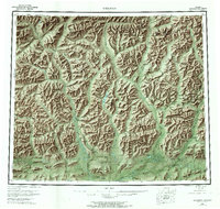
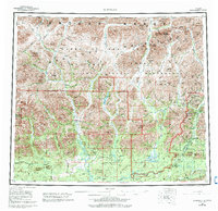
1956 Map of Wiseman
USGS Topo · Published 1971About this map
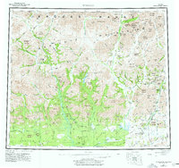
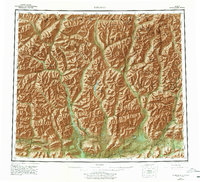
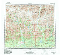
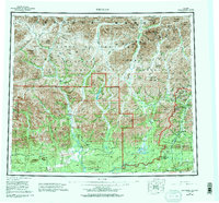
The Endicott Mountains define this interior Alaskan landscape, where the headwaters of several major river systems converge. In the eastern portion of the sheet, the settlement of Wiseman and the site of Coldfoot (Aband) sit along the Middle Fork Koyukuk River, connected by the Hickal Highway. This corridor represents a critical transport artery in the Brooks Range, supplemented by the Winter Trail leading south toward Ninemile Cabin.
Find a feature on this map
178 named features on this map. Tap any name to fly to it.
Don’t see what you’re looking for? This feature index may not catch every label — zoom into the map to look around manually.
Map Details
Editions of this 1956 Wiseman Map
10 editions found

Other maps of this area

1951 · Hughes
USGS Topo · 1:250,000

1951 · Bettles
USGS Topo · 1:250,000

1951 · Survey Pass
USGS Topo · 1:250,000

1951 · Chandler Lake
USGS Topo · 1:250,000

1951 · Chandalar
USGS Topo · 1:250,000

1951 · Brooks
USGS Topo · 1:250,000

1951 · Beaver
USGS Topo · 1:250,000

1951 · Killik River
USGS Topo · 1:250,000

1951 · Wiseman
USGS Topo · 1:250,000

1956 · Chandalar
USGS Topo · 1:250,000