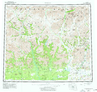
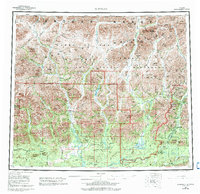
1956 Map of Wiseman
USGS Topo · Published 1977About this map
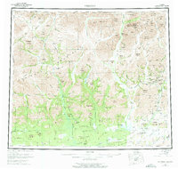
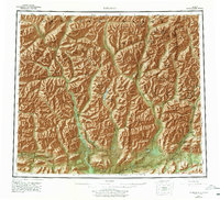
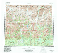
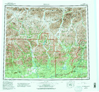
Wiseman and Nolan stand as focal points for mining activity in the central Brooks Range, illustrating the remote settlement patterns of the Alaska interior during the mid-20th century. This area, largely defined by the Endicott Mountains and the Alatna Hills, shows a landscape dominated by the drainage systems of the Koyukuk River and Alatna River. The concentration of small-scale operations like the Smith Cr Mine and Snowshoe Mine near Wiseman Creek reflects the enduring interest in the region's mineral wealth.
Find a feature on this map
143 named features on this map. Tap any name to fly to it.
Don’t see what you’re looking for? This feature index may not catch every label — zoom into the map to look around manually.
Map Details
Editions of this 1956 Wiseman Map
10 editions found

Other maps of this area

1951 · Hughes
USGS Topo · 1:250,000

1951 · Bettles
USGS Topo · 1:250,000

1951 · Survey Pass
USGS Topo · 1:250,000

1951 · Chandler Lake
USGS Topo · 1:250,000

1951 · Chandalar
USGS Topo · 1:250,000

1951 · Brooks
USGS Topo · 1:250,000

1951 · Beaver
USGS Topo · 1:250,000

1951 · Killik River
USGS Topo · 1:250,000

1951 · Wiseman
USGS Topo · 1:250,000

1956 · Chandalar
USGS Topo · 1:250,000