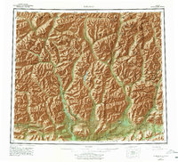
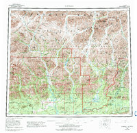
1956 Map of Wiseman
USGS Topo · Published 1978About this map
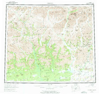
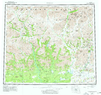
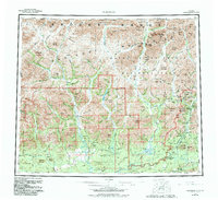
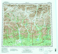
Wiseman and Nolan serve as the primary human outposts in this expansive landscape dominated by the Brooks Range and Endicott Mountains. This mid-century survey captures the region's character as a frontier of mining and difficult transit, where the Mail Trail and Winter Road provide the only land-based threads through the wilderness. The landscape is defined by the massive drainage systems of the John River and the various forks of the Koyukuk River, which intersect at the remote settlement of Coldfoot. Beyond the clusters of activity near a Placer Mine, the map documents significant natural landmarks like the Gates of the Arctic and Mount Doonerak, reflecting an era before this terrain became a formal national park but while it was already recognized for its singular geography.
Find a feature on this map
131 named features on this map. Tap any name to fly to it.
Don’t see what you’re looking for? This feature index may not catch every label — zoom into the map to look around manually.
Map Details
Editions of this 1956 Wiseman Map
10 editions found

Other maps of this area

1951 · Hughes
USGS Topo · 1:250,000

1951 · Bettles
USGS Topo · 1:250,000

1951 · Survey Pass
USGS Topo · 1:250,000

1951 · Chandler Lake
USGS Topo · 1:250,000

1951 · Chandalar
USGS Topo · 1:250,000

1951 · Brooks
USGS Topo · 1:250,000

1951 · Beaver
USGS Topo · 1:250,000

1951 · Killik River
USGS Topo · 1:250,000

1951 · Wiseman
USGS Topo · 1:250,000

1956 · Chandalar
USGS Topo · 1:250,000