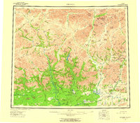
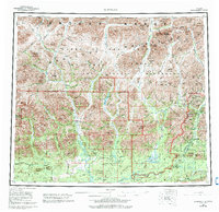
1956 Map of Wiseman
USGS Topo · Published 1959About this map
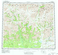
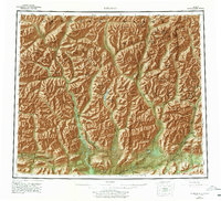
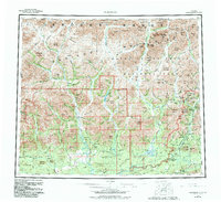
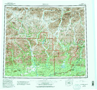
The Koyukuk River and its numerous forks define this remote Alaskan interior landscape during the mid-1950s. The region is centered on the settlement of Wiseman, a historic mining hub where the Middle Fork Koyukuk River meets Hammond River. Further south, the map documents Coldfoot and Tramway Bar, reflecting the established river-based transportation and gold-mining legacy of the Brooks Range. The Endicott Mountains dominate the terrain, featuring high passes such as Vermont Pass and Snowshoe Pass that connect isolated drainages. Notable water bodies like Wild Lake and Loon Lake are surrounded by prominent peaks including Mathews Dome and Emma Dome. Numerous Landing Areas are indicated near these remote outposts, highlighting the critical role of bush aviation in navigating the vast distance between the John River and the Alatna River.
Find a feature on this map
173 named features on this map. Tap any name to fly to it.
Don’t see what you’re looking for? This feature index may not catch every label — zoom into the map to look around manually.
Map Details
Editions of this 1956 Wiseman Map
10 editions found

Other maps of this area

1951 · Hughes
USGS Topo · 1:250,000

1951 · Bettles
USGS Topo · 1:250,000

1951 · Survey Pass
USGS Topo · 1:250,000

1951 · Chandler Lake
USGS Topo · 1:250,000

1951 · Chandalar
USGS Topo · 1:250,000

1951 · Brooks
USGS Topo · 1:250,000

1951 · Beaver
USGS Topo · 1:250,000

1951 · Killik River
USGS Topo · 1:250,000

1951 · Wiseman
USGS Topo · 1:250,000

1956 · Chandalar
USGS Topo · 1:250,000