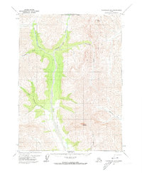
1971 Map of Chandalar D-6
USGS Topo · Published 1973About this map
Dietrich River serves as the central artery through this Arctic landscape, carving a broad valley flanked by high peaks of the Brooks Range. Documented in the early 1970s, the terrain is defined by its water systems and elevation, with the massive presence of Table Mountain in the northeast and Snowden Mountain to the south. A prominent Winter Trail follows the river corridor, indicating a historical transportation route used when the ground was frozen, long before modern permanent infrastructure dominated the region. Numerous tributaries, including Kuyuktuvuk Creek and Nutirwik Creek, feed into the primary river valley, illustrating the complex drainage patterns of this subarctic environment. The map also captures the North Boundary Fairbanks Meridian, a critical surveying line for land management in the Alaskan interior.
Find a feature on this map
11 named features on this map. Tap any name to fly to it.
Don’t see what you’re looking for? This feature index may not catch every label — zoom into the map to look around manually.
Map Details
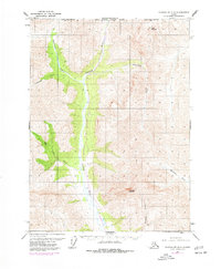
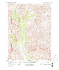
Editions of this 1971 Chandalar D-6 Map
3 editions found
Other maps of this area

1951 · Chandler Lake
USGS Topo · 1:250,000

1951 · Chandalar
USGS Topo · 1:250,000

1951 · Brooks
USGS Topo · 1:250,000

1951 · Wiseman
USGS Topo · 1:250,000

1956 · Chandalar
USGS Topo · 1:250,000

1956 · Wiseman
USGS Topo · 1:250,000

1956 · Philip Smith Mountains
USGS Topo · 1:250,000

1956 · Chandler Lake
USGS Topo · 1:250,000

1964 · Wiseman
USGS Topo · 1:250,000

1964 · Chandalar
USGS Topo · 1:250,000