
1956 Map of Chandler Lake
USGS Topo · Published 1959About this map
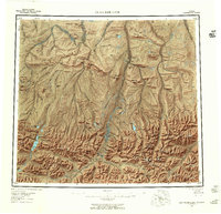
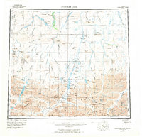
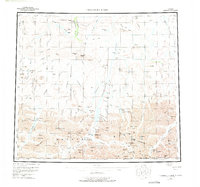
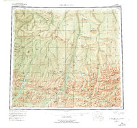
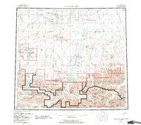
The Anaktuvuk River and Chandler River systems carve through this northern interior landscape as it appeared in the mid-1950s. The map illustrates a transitional environment where the high peaks of the Brooks Range meet northern mesas and ridges like Grandstand Ridge and Ayiyak Mesa. Human presence is sparse but specific, indicated by a long Tractor Trail winding through the center of the sheet and isolated Cabin sites near Chandler Lake. Genealogists and local historians can locate a Cem near the confluence of the Anaktuvuk River and Contact Creek, marking a site of early habitation in this remote region. The relationship between glacial lakes like Shainin Lake and the river valleys provides a detailed record of the drainage patterns essential for navigating this wilderness before modern infrastructure.
Find a feature on this map
71 named features on this map. Tap any name to fly to it.
Don’t see what you’re looking for? This feature index may not catch every label — zoom into the map to look around manually.
Map Details
Editions of this 1956 Chandler Lake Map
8 editions found
Other maps of this area

1951 · Sagavanirktok D-5
USGS Topo · 1:250,000

1951 · Ikpikpuk River
USGS Topo · 1:250,000

1951 · Survey Pass
USGS Topo · 1:250,000

1951 · Chandler Lake
USGS Topo · 1:250,000

1951 · Chandalar
USGS Topo · 1:250,000

1951 · Brooks
USGS Topo · 1:250,000

1951 · Killik River
USGS Topo · 1:250,000

1951 · Wiseman
USGS Topo · 1:250,000

1952 · Umiat
USGS Topo · 1:250,000

1955 · Umiat A-4
USGS Topo · 1:63,360