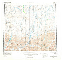
1956 Map of Chandler Lake
USGS Topo · Published 1969About this map
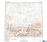
Anaktuvuk Pass serves as a primary point of human activity in this mid-century landscape of the Brooks Range. The terrain is characterized by a network of drainage systems including the Chandler River, Nanushuk River, and Itkillik River, which carve through prominent landforms like Grandstand Ridge and Ayiyak Mesa. Early industrial and logistical efforts are visible through the Grandstand Test Well and a lengthy Tractor Trail winding through the northern valleys.
Find a feature on this map
82 named features on this map. Tap any name to fly to it.
Don’t see what you’re looking for? This feature index may not catch every label — zoom into the map to look around manually.
Map Details
Editions of this 1956 Chandler Lake Map
8 editions found

Other maps of this area

1951 · Sagavanirktok D-5
USGS Topo · 1:250,000

1951 · Ikpikpuk River
USGS Topo · 1:250,000

1951 · Survey Pass
USGS Topo · 1:250,000

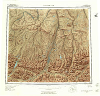
1951 · Chandler Lake
USGS Topo · 1:250,000

1951 · Chandalar
USGS Topo · 1:250,000

1951 · Brooks
USGS Topo · 1:250,000

1951 · Killik River
USGS Topo · 1:250,000

1951 · Wiseman
USGS Topo · 1:250,000

1952 · Umiat
USGS Topo · 1:250,000

1955 · Umiat A-4
USGS Topo · 1:63,360