
1971 Map of Chandalar B-5
USGS Topo · Published 1973About this map
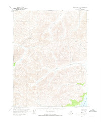
The South Fork of the Koyukuk River dominates this northern Alaskan interior landscape, carving through the expansive Flats between the O Keefe Hills and the southern slopes. During the early 1970s, this region remained largely untouched by permanent infrastructure, characterized instead by seasonal movement and opportunistic resource extraction. Evidence of human activity is clustered near the northwestern corner, where a Mine and a set of Cabins sit near the headwaters of Wakeup Creek.
Find a feature on this map
28 named features on this map. Tap any name to fly to it.
Don’t see what you’re looking for? This feature index may not catch every label — zoom into the map to look around manually.
Map Details
Editions of this 1971 Chandalar B-5 Map
This is the sole edition of this map. No revisions or reprints were ever made.
Other maps of this area

1951 · Chandalar
USGS Topo · 1:250,000

1956 · Chandalar
USGS Topo · 1:250,000

1964 · Chandalar
USGS Topo · 1:250,000
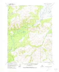
1970 · Chandalar A-6
USGS Topo · 1:63,360
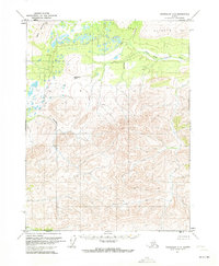
1970 · Chandalar A-5
USGS Topo · 1:63,360
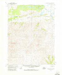
1970 · Chandalar A-4
USGS Topo · 1:63,360

1971 · Chandalar C-5
USGS Topo · 1:63,360
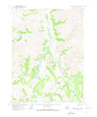
1971 · Chandalar C-6
USGS Topo · 1:63,360
1971 · Chandalar C-4
USGS Topo · 1:63,360
1971 · Chandalar B-4
USGS Topo · 1:63,360