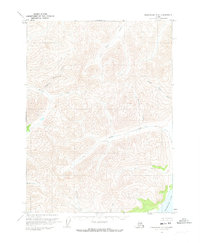
1971 Map of Chandalar C-4
USGS Topo · Published 1973About this map
Chandalar Lake anchors the southeastern corner of this Brooks Range wilderness, which was photogrammetrically mapped in the early 1970s. The landscape is defined by a dense network of high-elevation drainages including Geroe Creek, Anderson Creek, and Baby Creek. A single Cabin located near the confluence of Anderson and Baby Creeks serves as the only evidence of human structures in this remote interior region. The terrain is characterized by steep contours and sharp ridgelines separating drainages like Schrader Creek and Big Jim Creek. This survey was compiled from 1970 aerial photography by the Geological Survey, capturing the topography before any modern infrastructure altered these northern valleys.
Find a feature on this map
11 named features on this map. Tap any name to fly to it.
Don’t see what you’re looking for? This feature index may not catch every label — zoom into the map to look around manually.
Map Details
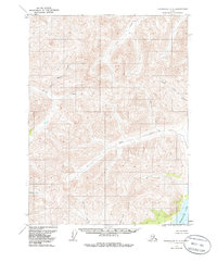
Editions of this 1971 Chandalar C-4 Map
2 editions found
Other maps of this area

1951 · Chandalar
USGS Topo · 1:250,000

1956 · Chandalar
USGS Topo · 1:250,000

1964 · Chandalar
USGS Topo · 1:250,000
1971 · Chandalar D-5
USGS Topo · 1:63,360

1971 · Chandalar B-5
USGS Topo · 1:63,360

1971 · Chandalar C-5
USGS Topo · 1:63,360
1971 · Chandalar B-4
USGS Topo · 1:63,360
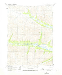
1971 · Chandalar D-4
USGS Topo · 1:63,360
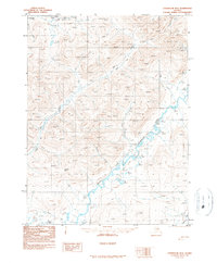
1990 · Chandalar B-3
USGS Topo · 1:63,360
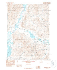
1990 · Chandalar C-3
USGS Topo · 1:63,360