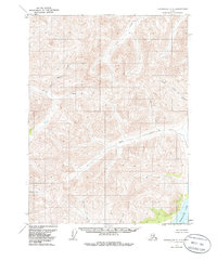
1971 Map of Chandalar C-4
USGS Topo · Published 1985About this map
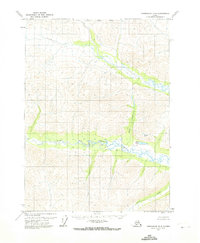
Chandalar Lake anchors the southeastern corner of this Brooks Range landscape, a remote stretch of the Alaska interior recorded through aerial photography in the early 1970s. The terrain is defined by a dense network of mountain drainages, where Geroe Creek and Little Spruce Creek flow through deep valleys before joining larger systems. Human presence is nearly absent in this subarctic wilderness, marked only by a solitary Cabin located along the banks of Baby Creek. This isolation is typical of the Yukon-Koyukuk region during this era, where seasonal subsistence and small-scale trapping or exploration were the primary drivers of settlement. The map captures a topography of steep ridges and creek bottoms, including Big Jim Creek and Schrader Creek, illustrating the complex hydrological patterns of the Chandalar River watershed before modern infrastructure reached these northern latitudes.
Find a feature on this map
10 named features on this map. Tap any name to fly to it.
Don’t see what you’re looking for? This feature index may not catch every label — zoom into the map to look around manually.
Map Details
Editions of this 1971 Chandalar C-4 Map
2 editions found
Other maps of this area

1951 · Chandalar
USGS Topo · 1:250,000

1956 · Chandalar
USGS Topo · 1:250,000

1964 · Chandalar
USGS Topo · 1:250,000
1971 · Chandalar D-5
USGS Topo · 1:63,360

1971 · Chandalar B-5
USGS Topo · 1:63,360

1971 · Chandalar C-5
USGS Topo · 1:63,360
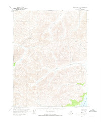
1971 · Chandalar C-4
USGS Topo · 1:63,360
1971 · Chandalar B-4
USGS Topo · 1:63,360
1971 · Chandalar D-4
USGS Topo · 1:63,360
1990 · Chandalar B-3
USGS Topo · 1:63,360