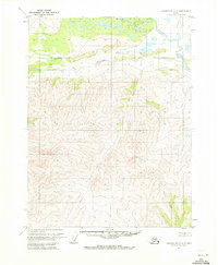
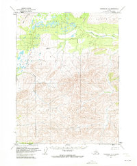
1970 Map of Chandalar A-4
USGS Topo · Published 1973About this map
The North Fork Chandalar River winds through this northern interior landscape, meeting the Chandalar River near a series of unnamed lakes and wetlands. This 1970 survey captures a region of immense vertical relief, where the drainage basins of Slate Creek and Monarch Creek carve deep valleys into the surrounding heights. A single Cabin is recorded near the river's edge, serving as one of the few indicators of human presence in an area primarily defined by its hydrology and terrain.
Find a feature on this map
7 named features on this map. Tap any name to fly to it.
Don’t see what you’re looking for? This feature index may not catch every label — zoom into the map to look around manually.
Map Details
Editions of this 1970 Chandalar A-4 Map
2 editions found
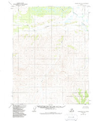
Other maps of this area

1951 · Chandalar
USGS Topo · 1:250,000

1951 · Beaver
USGS Topo · 1:250,000

1956 · Chandalar
USGS Topo · 1:250,000

1956 · Beaver
USGS Topo · 1:250,000

1964 · Chandalar
USGS Topo · 1:250,000

1964 · Beaver
USGS Topo · 1:250,000
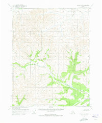
1970 · Beaver D-5
USGS Topo · 1:63,360
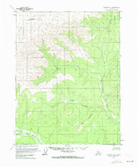
1970 · Beaver D-4
USGS Topo · 1:63,360
1970 · Chandalar A-5
USGS Topo · 1:63,360

1971 · Chandalar B-5
USGS Topo · 1:63,360