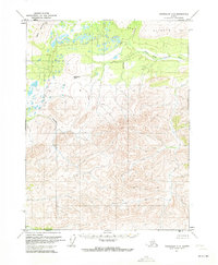
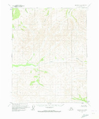
1970 Map of Chandalar A-5
USGS Topo · Published 1973About this map
West Fork Chandalar River winds through the northern portion of this 1970 survey, representing a significant drainage in the Brooks Range foothills. The terrain is defined by high ridgelines and several named topographical features, including the prominent peaks known as Buttons and East Buttons. A notable geographic bottleneck exists at Boatman Pass, which serves as a natural gateway between the drainage basins. Below the heights, Siwash Creek cuts through the steep contours of the central and western reaches. The map reflects a landscape that, at the time of mapping, remained largely unsurveyed by traditional ground methods, relying instead on photogrammetric data to document this part of the Fairbanks Meridian.
Find a feature on this map
5 named features on this map. Tap any name to fly to it.
Don’t see what you’re looking for? This feature index may not catch every label — zoom into the map to look around manually.
Map Details
Editions of this 1970 Chandalar A-5 Map
This is the sole edition of this map. No revisions or reprints were ever made.
Other maps of this area

1951 · Chandalar
USGS Topo · 1:250,000

1951 · Beaver
USGS Topo · 1:250,000

1956 · Chandalar
USGS Topo · 1:250,000

1956 · Beaver
USGS Topo · 1:250,000

1964 · Chandalar
USGS Topo · 1:250,000

1964 · Beaver
USGS Topo · 1:250,000
1970 · Beaver D-5
USGS Topo · 1:63,360
1970 · Beaver D-4
USGS Topo · 1:63,360
1970 · Chandalar A-6
USGS Topo · 1:63,360
1970 · Beaver D-6
USGS Topo · 1:63,360