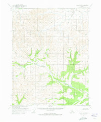
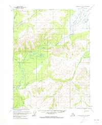
1970 Map of Beaver D-5
USGS Topo · Published 1973About this map
Granite Fork Hodzana River dominates the lower landscape of this 1970 Alaskan interior survey, cutting through the high elevation terrain of the Yukon-Koyukuk region. The map captures a vast, roadless wilderness characterized by complex drainage patterns, where tributaries like Lansing Creek and Trail Cr carve through the northern hills. Compiled using photogrammetric methods from 1969 aerial photography, the sheet displays the meticulous topography of the northern interior before modern development. Notable are the predetermined land lines established by the Bureau of Land Management, which represent unsurveyed and unmarked locations across the township and range grid, reflecting the early administrative efforts to organize this remote territory.
Find a feature on this map
8 named features on this map. Tap any name to fly to it.
Don’t see what you’re looking for? This feature index may not catch every label — zoom into the map to look around manually.
Map Details
Editions of this 1970 Beaver D-5 Map
This is the sole edition of this map. No revisions or reprints were ever made.
Other maps of this area

1951 · Chandalar
USGS Topo · 1:250,000

1951 · Beaver
USGS Topo · 1:250,000

1956 · Chandalar
USGS Topo · 1:250,000

1956 · Beaver
USGS Topo · 1:250,000

1964 · Chandalar
USGS Topo · 1:250,000

1964 · Beaver
USGS Topo · 1:250,000
1970 · Beaver C-6
USGS Topo · 1:63,360
1970 · Beaver C-5
USGS Topo · 1:63,360
1970 · Beaver D-4
USGS Topo · 1:63,360
1970 · Chandalar A-6
USGS Topo · 1:63,360