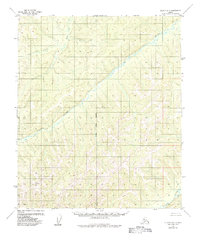
1955 Map of Nulato D-6
USGS Topo · Published 1984About this map
The Gisasa River snakes through the center of this remote Alaskan interior landscape, its meandering course carving through a vast network of hills and valleys. This 1950s-era topographic survey, though minimally revised in 1984, documents a region largely defined by its natural drainage systems rather than human infrastructure. The Kateel River serves as the primary longitudinal reference point for the land grid, while smaller tributaries like Arvesta Creek feed into the larger river basin. The absence of roads, settlements, or structures on this sheet underscores the isolation of the Yukon-Koyukuk region at the time of mapping, providing a baseline for environmental studies or land-use research in this part of the Nulato quadrangle. The map relies on 1950s aerial photography to delineate the complex topography and river patterns that govern the local geography.
Find a feature on this map
8 named features on this map. Tap any name to fly to it.
Don’t see what you’re looking for? This feature index may not catch every label — zoom into the map to look around manually.
Map Details
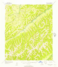
Editions of this 1955 Nulato D-6 Map
2 editions found
Other maps of this area

1945 · Nulato
USGS Topo · 1:250,000

1948 · Norton Bay
USGS Topo · 1:250,000

1951 · Candle
USGS Topo · 1:250,000

1951 · Nulato
USGS Topo · 1:250,000

1951 · Norton Bay
USGS Topo · 1:250,000

1951 · Kateel River
USGS Topo · 1:250,000

1952 · Nulato D-5
USGS Topo · 1:63,360

1952 · Nulato C-6
USGS Topo · 1:63,360

1952 · Nulato C-5
USGS Topo · 1:63,360

1952 · Nulato
USGS Topo · 1:250,000