1945 Map of Nulato
USGS Topo · Published 1954About this map
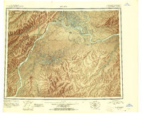
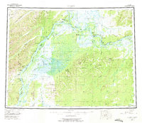
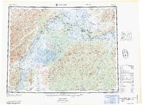
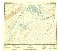
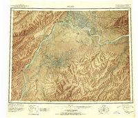
The Yukon River and Koyukuk River dominate this mid-century reconnaissance of the Alaskan interior, showing a landscape defined by seasonal movement and river-dependent settlements. From the trading hub of Nulato to the military and civilian activity near Galena, the map records the vital landing areas and sloughs that connected these remote outposts. Further downstream, the Kaltag Portage marks the traditional overland route between the Yukon and the Unalakleet River, a path of immense importance for trade and travel long before aerial surveys.
Find a feature on this map
47 named features on this map. Tap any name to fly to it.
Don’t see what you’re looking for? This feature index may not catch every label — zoom into the map to look around manually.
Map Details
Editions of this 1945 Nulato Map
2 editions found
Historical Maps of Galena Through Time
4 maps found