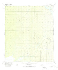
1952 Map of Ruby A-6
USGS Topo · Published 1975About this map
Gold mining operations and the transient infrastructure of the Alaskan interior define this mid-century survey of the Sulatna River region. The settlement of Poorman serves as the focal point for local activity, surrounded by industrial evidence such as Tailings Ponds and a Strip Mine along the nearby creeks. This era captured by the 1952 aerial photography shows a landscape in flux, where the reliance on seasonal transport is evident in the Winter Trail and several aviation markers, including a Landing Strip and the already noted Landing Strip (Aban'd).
Find a feature on this map
38 named features on this map. Tap any name to fly to it.
Don’t see what you’re looking for? This feature index may not catch every label — zoom into the map to look around manually.
Map Details
Editions of this 1952 Ruby A-6 Map
2 editions found
Other maps of this area

1945 · Nulato
USGS Topo · 1:250,000

1950 · Medfra
USGS Topo · 1:250,000

1951 · Ophir
USGS Topo · 1:250,000

1951 · Nulato
USGS Topo · 1:250,000

1951 · Ruby
USGS Topo · 1:250,000

1952 · Nulato B-1
USGS Topo · 1:63,360

1952 · Ruby B-6
USGS Topo · 1:63,360

1952 · Ruby B-5
USGS Topo · 1:63,360

1952 · Ruby A-5
USGS Topo · 1:63,360

1952 · Ruby A-6
USGS Topo · 1:63,360