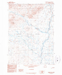
1990 Map of Christian D-5
USGS Topo · Published 1990About this map
The Arctic National Wildlife Refuge dominates this northern landscape, which was documented using aerial photography from the 1970s and 1980s. A network of glacial waterways, including the Wind River and the Chandalar River East Fork, flows through the terrain. The topography is defined by significant elevations such as Buffalo Mountain in the northwest. Local transportation is represented by a Winter Trail that parallels the eastern river system, illustrating the seasonal nature of access in the Yukon-Koyukuk region. Smaller tributaries like Smoke Creek and Nest Creek feed into the larger river basins, while the presence of numerous small lakes and ponds across the central flats suggests the complex drainage patterns typical of this subarctic environment.
Find a feature on this map
7 named features on this map. Tap any name to fly to it.
Don’t see what you’re looking for? This feature index may not catch every label — zoom into the map to look around manually.
Map Details
Editions of this 1990 Christian D-5 Map
This is the sole edition of this map. No revisions or reprints were ever made.
Other maps of this area

1951 · Christian
USGS Topo · 1:250,000

1951 · Arctic
USGS Topo · 1:250,000

1956 · Arctic
USGS Topo · 1:250,000

1956 · Christian
USGS Topo · 1:250,000
1972 · Arctic A-4
USGS Topo · 1:63,360
1972 · Arctic A-5
USGS Topo · 1:63,360
1990 · Christian C-4
USGS Topo · 1:63,360
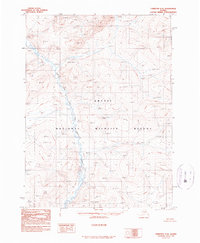
1990 · Christian C-6
USGS Topo · 1:63,360
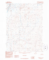
1990 · Christian D-4
USGS Topo · 1:63,360
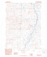
1990 · Christian C-5
USGS Topo · 1:63,360