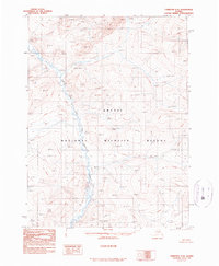
1990 Map of Christian C-6
USGS Topo · Published 1990About this map
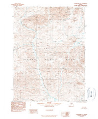
Arctic National Wildlife Refuge encompasses the entire expanse of this 1990 provisional survey, showcasing a remote Alaskan landscape defined by its glacial and fluvial features. The primary drainage system is the North Fork East Fork Chandalar River, which meanders through the central valley, flanked by high-elevation peaks such as Chek. The map illustrates the complex braiding of the river system as it cuts through the northern interior, providing a detailed look at the drainage patterns and topographic elevations of the Brooks Range foothills before modern digital revisions. This edition, compiled from aerial photography taken in the early 1980s, captures the wild character of the eastern Arctic before significant changes in environmental management or climate shifts altered the hydrography of the Chandalar headwaters.
Find a feature on this map
3 named features on this map. Tap any name to fly to it.
Don’t see what you’re looking for? This feature index may not catch every label — zoom into the map to look around manually.
Map Details
Editions of this 1990 Christian C-6 Map
This is the sole edition of this map. No revisions or reprints were ever made.
Other maps of this area

1951 · Chandalar
USGS Topo · 1:250,000

1951 · Christian
USGS Topo · 1:250,000

1956 · Chandalar
USGS Topo · 1:250,000

1956 · Christian
USGS Topo · 1:250,000

1964 · Chandalar
USGS Topo · 1:250,000
1990 · Christian B-6
USGS Topo · 1:63,360
1990 · Chandalar B-1
USGS Topo · 1:63,360
1990 · Christian C-5
USGS Topo · 1:63,360
1990 · Chandalar D-1
USGS Topo · 1:63,360
1990 · Chandalar C-1
USGS Topo · 1:63,360