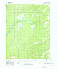
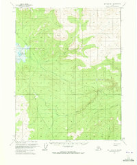
1970 Map of Bettles C-2
USGS Topo · Published 1977About this map
The Trans-Alaska Pipeline is the defining modern addition to this interior Alaskan landscape, marked here in its initial development phase while still (under construction). This 1970s survey captures a transition in the wilderness north of the Arctic Circle, where the industrial infrastructure of the pipeline begins to intersect with established seasonal routes such as the Winter Trail and Winter Road.
Find a feature on this map
10 named features on this map. Tap any name to fly to it.
Don’t see what you’re looking for? This feature index may not catch every label — zoom into the map to look around manually.
Map Details
Editions of this 1970 Bettles C-2 Map
2 editions found
Other maps of this area

1951 · Bettles
USGS Topo · 1:250,000

1956 · Bettles
USGS Topo · 1:250,000
1970 · Bettles D-1
USGS Topo · 1:63,360

1970 · Bettles B-2
USGS Topo · 1:63,360
1970 · Bettles B-3
USGS Topo · 1:63,360
1970 · Bettles C-1
USGS Topo · 1:63,360

1970 · Bettles D-3
USGS Topo · 1:63,360

1970 · Bettles C-2
USGS Topo · 1:63,360

1970 · Bettles D-2
USGS Topo · 1:63,360
1970 · Bettles B-1
USGS Topo · 1:63,360