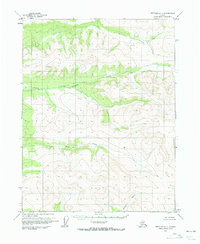
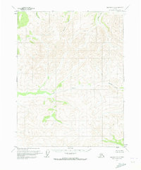
1970 Map of Bettles C-1
USGS Topo · Published 1973About this map
Kanuti River flows across the southeastern corner of this Interior Alaska landscape, documented in 1970 using aerial photography. The terrain is defined by significant elevations, including the high ground at Bonanza and Fish, which separate several key drainage systems. Bonanza Creek and Fish Creek carve through the northern and central portions of the quadrangle, illustrating the complex hydrography of the region before modern development. This survey serves as a record of an untouched subarctic wilderness, where the absence of roads or trails highlights the reliance on natural waterways and topographical landmarks for navigation and land management by the Bureau of Land Management.
Find a feature on this map
5 named features on this map. Tap any name to fly to it.
Don’t see what you’re looking for? This feature index may not catch every label — zoom into the map to look around manually.
Map Details
Editions of this 1970 Bettles C-1 Map
2 editions found
Other maps of this area

1951 · Bettles
USGS Topo · 1:250,000

1951 · Beaver
USGS Topo · 1:250,000

1956 · Bettles
USGS Topo · 1:250,000

1956 · Beaver
USGS Topo · 1:250,000

1964 · Beaver
USGS Topo · 1:250,000
1970 · Bettles D-1
USGS Topo · 1:63,360

1970 · Bettles B-2
USGS Topo · 1:63,360
1970 · Beaver C-6
USGS Topo · 1:63,360

1970 · Beaver B-6
USGS Topo · 1:63,360
1970 · Beaver D-6
USGS Topo · 1:63,360