
1983 Map of Arctic B-2
USGS Topo · Published 1984About this map
Arctic National Wildlife Refuge encompasses the vast majority of this 1980s landscape, illustrating the remote and untouched character of the North Slope Borough during this era. The terrain is defined by dramatic elevations and drainage systems, most notably the East Fork Chandalar River winding through the western portion of the quadrangle. This provisional survey captures a snapshot of the region's geography before more modern mapping techniques were applied, emphasizing the isolated nature of the Brooks Range foothills.
Find a feature on this map
10 named features on this map. Tap any name to fly to it.
Don’t see what you’re looking for? This feature index may not catch every label — zoom into the map to look around manually.
Map Details
Editions of this 1983 Arctic B-2 Map
This is the sole edition of this map. No revisions or reprints were ever made.
Other maps of this area

1951 · Arctic
USGS Topo · 1:250,000

1956 · Arctic
USGS Topo · 1:250,000
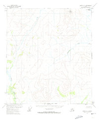
1972 · Arctic A-1
USGS Topo · 1:63,360

1972 · Arctic A-3
USGS Topo · 1:63,360

1972 · Arctic A-2
USGS Topo · 1:63,360
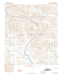
1983 · Arctic C-1
USGS Topo · 1:63,360

1983 · Arctic C-3
USGS Topo · 1:63,360

1983 · Arctic C-2
USGS Topo · 1:63,360

1983 · Arctic B-3
USGS Topo · 1:63,360
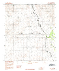
1983 · Arctic B-1
USGS Topo · 1:63,360