
1972 Map of Arctic A-3
USGS Topo · Published 1975About this map
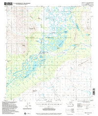
Arctic Village serves as the focal point of human presence in this high-latitude landscape, situated near a Landing Strip and the banks of the Chandalar River East Fork. The settlement is characterized by a mix of traditional and modern utility, featuring mapped Cems and a nearby Gravel Pit. The map documents a complex aquatic environment where the Junjik River meanders through a dense network of water bodies, including Swan Lake, Vettekwi Lake, and Loon Lake.
Find a feature on this map
36 named features on this map. Tap any name to fly to it.
Don’t see what you’re looking for? This feature index may not catch every label — zoom into the map to look around manually.
Map Details
Editions of this 1972 Arctic A-3 Map
2 editions found
Other maps of this area

1951 · Christian
USGS Topo · 1:250,000

1951 · Arctic
USGS Topo · 1:250,000

1956 · Arctic
USGS Topo · 1:250,000

1956 · Christian
USGS Topo · 1:250,000
1972 · Arctic A-4
USGS Topo · 1:63,360
1972 · Christian D-3
USGS Topo · 1:63,360

1972 · Arctic A-2
USGS Topo · 1:63,360
1983 · Arctic B-4
USGS Topo · 1:63,360

1983 · Arctic B-2
USGS Topo · 1:63,360

1983 · Arctic B-3
USGS Topo · 1:63,360