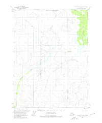
1972 Map of Christian D-3
USGS Topo · Published 1976About this map
The Venetie Indian Reservation occupies much of this landscape, reflecting a remote wilderness characterized by the meandering path of the Christian River. Based on 1972 aerial photography, the terrain is defined by complex wetlands and high ridges, notably around the elevated feature of Chotzatdhah. The lack of permanent settlements or modern road infrastructure highlights the isolation of this region during the early 1970s. A seasonal Winter Trail cuts across the northern and central sections, providing a critical land route through the interior when the ground is frozen. This document captures the Fairbanks Meridian grid system and unsurveyed land lines as they existed before further development, preserving the state of this indigenous territory in its late 20th-century form.
Find a feature on this map
5 named features on this map. Tap any name to fly to it.
Don’t see what you’re looking for? This feature index may not catch every label — zoom into the map to look around manually.
Map Details
Editions of this 1972 Christian D-3 Map
2 editions found
Other maps of this area

1951 · Christian
USGS Topo · 1:250,000

1951 · Arctic
USGS Topo · 1:250,000

1956 · Arctic
USGS Topo · 1:250,000

1956 · Christian
USGS Topo · 1:250,000

1972 · Arctic A-3
USGS Topo · 1:63,360
1972 · Christian D-2
USGS Topo · 1:63,360

1972 · Arctic A-2
USGS Topo · 1:63,360
1972 · Christian C-3
USGS Topo · 1:63,360
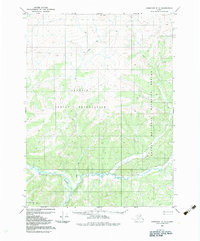
1983 · Christian C-3
USGS Topo · 1:63,360
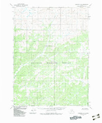
1983 · Christian C-2
USGS Topo · 1:63,360