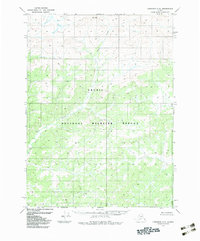
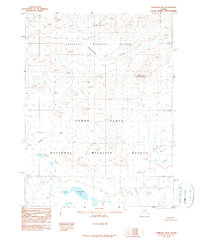
1983 Map of Christian C-2
USGS Topo · Published 1983About this map
Arctic National Wildlife Refuge encompasses the entirety of this landscape, reflecting a period of significant federal land designation in the Brooks Range. The terrain is defined by high-elevation ridges and the drainage patterns of Otter Creek, which winds through the northern and central sections of the quadrangle. Mapped by the U.S. Geological Survey based on 1972 aerial photography, the sheet represents a specialized look at northern Alaska just before the adoption of the North American Datum 1983. The lack of roads, trails, or settlements underscores the immense scale of this protected interior, where topography alone dictated the movement of early surveyors and scientists working for the Bureau of Land Management.
Find a feature on this map
2 named features on this map. Tap any name to fly to it.
Don’t see what you’re looking for? This feature index may not catch every label — zoom into the map to look around manually.
Map Details
Editions of this 1983 Christian C-2 Map
This is the sole edition of this map. No revisions or reprints were ever made.
Other maps of this area

1951 · Christian
USGS Topo · 1:250,000

1956 · Christian
USGS Topo · 1:250,000
1972 · Christian D-2
USGS Topo · 1:63,360
1972 · Christian D-3
USGS Topo · 1:63,360
1972 · Christian C-3
USGS Topo · 1:63,360
1973 · Christian D-1
USGS Topo · 1:63,360
1983 · Christian C-3
USGS Topo · 1:63,360
1983 · Christian C-1
USGS Topo · 1:63,360
1990 · Christian B-3
USGS Topo · 1:63,360
1990 · Christian B-2
USGS Topo · 1:63,360