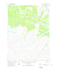
1972 Map of Christian D-2
USGS Topo · Published 1976About this map
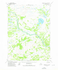
The Koness River flows through the northeastern corner of this subarctic wilderness in the Yukon-Koyukuk region. Recorded during the early 1970s, this landscape is defined by its complex drainage systems and unsurveyed territories, as noted by the North Boundary Fairbanks Meridian spanning the upper margin. The terrain is characterized by a dense network of unnamed ponds and marshes, with the wandering path of Vanticlese Creek cutting through the center of the sheet. This topographic study reflects a period before modern development, capturing the raw state of the Alaskan interior where land lines were predetermined by the Bureau of Land Management but remained largely unmarked on the ground. The lack of roads or trails highlights the extreme isolation of this river valley.
Find a feature on this map
3 named features on this map. Tap any name to fly to it.
Don’t see what you’re looking for? This feature index may not catch every label — zoom into the map to look around manually.
Map Details
Editions of this 1972 Christian D-2 Map
This is the sole edition of this map. No revisions or reprints were ever made.
Other maps of this area

1951 · Christian
USGS Topo · 1:250,000

1951 · Arctic
USGS Topo · 1:250,000

1956 · Arctic
USGS Topo · 1:250,000

1956 · Christian
USGS Topo · 1:250,000
1972 · Arctic A-1
USGS Topo · 1:63,360
1972 · Christian D-3
USGS Topo · 1:63,360

1972 · Arctic A-2
USGS Topo · 1:63,360
1972 · Christian C-3
USGS Topo · 1:63,360
1973 · Christian D-1
USGS Topo · 1:63,360
1983 · Christian C-3
USGS Topo · 1:63,360