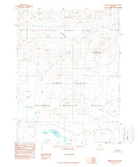
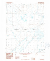
1990 Map of Christian B-2
USGS Topo · Published 1990About this map
Arctic National Wildlife Refuge and the Yukon Flats National Wildlife Refuge meet in this 1990 provisional survey, capturing a remote landscape where the Brooks Range foothills descend into the expansive Yukon Flats. The terrain is defined by dramatic elevation shifts, anchored by Burnt Mountain 2684 and the high point at South 2167. Water systems dominate the drainage patterns, with the winding course of Thluichohnjik Creek and Christian Creek cutting through the northern reaches, while the southern portion of the quadrangle opens into a complex of wetlands and water bodies such as Kwiitevunkud Lake. This map represents the area as it was formally delineated following the 1980 Alaska National Interest Lands Conservation Act, reflecting a period of refined federal land management and conservation mapping in the Alaskan interior.
Find a feature on this map
14 named features on this map. Tap any name to fly to it.
Don’t see what you’re looking for? This feature index may not catch every label — zoom into the map to look around manually.
Map Details
Editions of this 1990 Christian B-2 Map
This is the sole edition of this map. No revisions or reprints were ever made.
Other maps of this area

1951 · Christian
USGS Topo · 1:250,000

1956 · Christian
USGS Topo · 1:250,000
1972 · Christian C-3
USGS Topo · 1:63,360
1983 · Christian C-3
USGS Topo · 1:63,360
1983 · Christian C-2
USGS Topo · 1:63,360
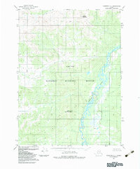
1983 · Christian C-1
USGS Topo · 1:63,360
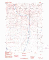
1990 · Christian B-3
USGS Topo · 1:63,360
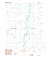
1990 · Christian A-1
USGS Topo · 1:63,360
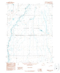
1990 · Christian A-3
USGS Topo · 1:63,360
1990 · Christian A-2
USGS Topo · 1:63,360