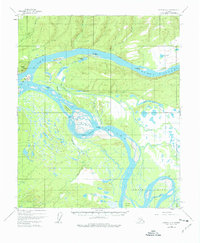
1952 Map of Tanana A-4
USGS Topo · Published 1977About this map
The confluence of the Yukon River and the Tanana River dominates this mid-century sub-arctic landscape, where a complex network of sloughs and islands defines the terrain. The presence of a Native Cem near the southern edge of the sheet and Mission Hill to the northwest suggests the long-standing significance of this river junction for travel and community. Transportation through this interior region relied on water and overland routes, indicated by a series of Tractor Trails threading through the northern hills.
Find a feature on this map
32 named features on this map. Tap any name to fly to it.
Don’t see what you’re looking for? This feature index may not catch every label — zoom into the map to look around manually.
Map Details
Editions of this 1952 Tanana A-4 Map
3 editions found
Other maps of this area

1948 · Kantishna River
USGS Topo · 1:250,000

1951 · Kantishna River
USGS Topo · 1:250,000

1951 · Tanana
USGS Topo · 1:250,000

1952 · Tanana A-3
USGS Topo · 1:63,360

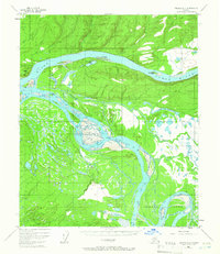
1952 · Tanana A-4
USGS Topo · 1:63,360

1952 · Kantishna River D-5
USGS Topo · 1:63,360

1952 · Kantishna River
USGS Topo · 1:250,000

1952 · Tanana A-5
USGS Topo · 1:63,360

1952 · Kantishna River D-3
USGS Topo · 1:63,360
1953 · Kantishna River D-5
USGS Topo · 1:63,360