
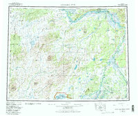
1952 Map of Kantishna River
USGS Topo · Published 1957About this map
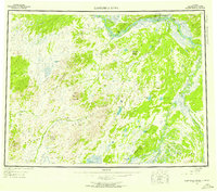
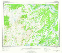
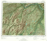
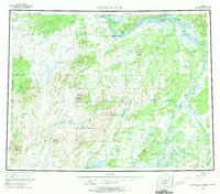
Manley Hot Springs serves as a primary hub in this interior Alaskan landscape, situated near the confluence of the Tanana River and Baker Creek. The geography is defined by the convergence of major river systems, including the Kantishna River, Cosna River, and the North Fork Kuskokwim River. These waterways provided the essential corridors for transport and survival in the early 1950s, evidenced by the Sled Road and riverfront settlements like Hot Springs Landing.
Find a feature on this map
41 named features on this map. Tap any name to fly to it.
Don’t see what you’re looking for? This feature index may not catch every label — zoom into the map to look around manually.
Map Details
Editions of this 1952 Kantishna River Map
7 editions found
Other maps of this area

1945 · Livengood
USGS Topo · 1:250,000

1948 · Kantishna River
USGS Topo · 1:250,000

1950 · Medfra
USGS Topo · 1:250,000

1950 · Fairbanks
USGS Topo · 1:250,000

1951 · Healy
USGS Topo · 1:250,000

1951 · Kantishna River
USGS Topo · 1:250,000

1951 · Ruby
USGS Topo · 1:250,000

1951 · Fairbanks
USGS Topo · 1:250,000

1951 · Melozitna
USGS Topo · 1:250,000

1951 · Tanana
USGS Topo · 1:250,000