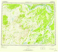
1952 Map of Kantishna River
USGS Topo · Published 1957About this map
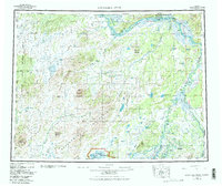
Manley Hot Springs serves as a key landmark in this interior Alaskan landscape, situated near the confluence where the Tanana River meets the winding Kantishna River. The terrain is defined by the convergence of the Kuskokwim Mountains, containing summits like Haystack Mountain, and the Bitzshtini Mountains. This 1952 survey documents a transitional period in the Alaskan interior, showing a sparse network of human activity connected by a Sled Road and river landings. Several locations are noted as having passed their peak utility, including the sites at Nineteenmile and Teklan. The intricate water systems, from Wien Lake to the complex sloughs like Patterson Slough, illustrate the importance of these waterways for navigation and survival in the Fourth Judicial Division. Isolated Cabins scattered along the banks of the Zitziana River and Cosna River further emphasize the remote nature of the region's trapping and prospecting history.
Find a feature on this map
52 named features on this map. Tap any name to fly to it.
Don’t see what you’re looking for? This feature index may not catch every label — zoom into the map to look around manually.
Map Details
Editions of this 1952 Kantishna River Map
7 editions found

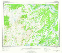
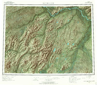
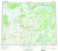
Other maps of this area

1945 · Livengood
USGS Topo · 1:250,000

1948 · Kantishna River
USGS Topo · 1:250,000

1950 · Medfra
USGS Topo · 1:250,000

1950 · Fairbanks
USGS Topo · 1:250,000

1951 · Healy
USGS Topo · 1:250,000

1951 · Kantishna River
USGS Topo · 1:250,000

1951 · Ruby
USGS Topo · 1:250,000

1951 · Fairbanks
USGS Topo · 1:250,000

1951 · Melozitna
USGS Topo · 1:250,000

1951 · Tanana
USGS Topo · 1:250,000