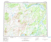
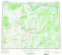
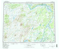
1952 Map of Kantishna River
USGS Topo · Published 1983About this map
The Tanana River and its labyrinthine sloughs form the northern spine of this interior Alaskan survey, where the river's braided channels meet high-ground landmarks like Cosna Bluff and Junction Island. To the south, the massive Kuskokwim Mountains dominate the horizon, giving rise to the Chitanana River and the meandering Kantishna River. This landscape reflects a mid-century period of subsistence and light infrastructure, with small outposts like Roosevelt and Cabin connected by a Sled Road and scattered Landing Strips.
Find a feature on this map
53 named features on this map. Tap any name to fly to it.
Don’t see what you’re looking for? This feature index may not catch every label — zoom into the map to look around manually.
Map Details
Editions of this 1952 Kantishna River Map
7 editions found

Other maps of this area

1945 · Livengood
USGS Topo · 1:250,000

1948 · Kantishna River
USGS Topo · 1:250,000

1950 · Medfra
USGS Topo · 1:250,000

1950 · Fairbanks
USGS Topo · 1:250,000

1951 · Healy
USGS Topo · 1:250,000

1951 · Kantishna River
USGS Topo · 1:250,000

1951 · Ruby
USGS Topo · 1:250,000

1951 · Fairbanks
USGS Topo · 1:250,000

1951 · Melozitna
USGS Topo · 1:250,000

1951 · Tanana
USGS Topo · 1:250,000