
1952 Map of Kantishna River D-5
USGS Topo · Published 1957About this map
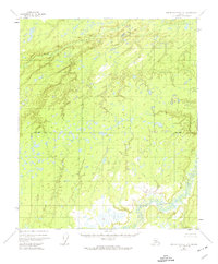
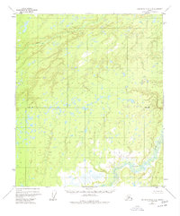
Chitanana River dominates the southeastern corner of this Alaskan interior landscape, its winding course threading through a vast network of wetlands and small lakes. Surveyed in the early 1950s using aerial photography, the map reveals a wilderness dominated by intricate hydrology and elevation contouring rather than human development. In the northern reaches, Boney Creek flows through the Tanana valley, carving through terrain marked by numerous unnamed ponds and subtle topographical rises. This sheet captures a specific moment in the mapping of the Alaska-Fourth Judicial Division, where the absence of roads or trails highlights the significance of these natural waterways as the primary landmarks for navigation and travel across the permafrost-rich terrain.
Find a feature on this map
2 named features on this map. Tap any name to fly to it.
Don’t see what you’re looking for? This feature index may not catch every label — zoom into the map to look around manually.
Map Details
Editions of this 1952 Kantishna River D-5 Map
3 editions found
Other maps of this area

1948 · Kantishna River
USGS Topo · 1:250,000

1951 · Kantishna River
USGS Topo · 1:250,000

1951 · Tanana
USGS Topo · 1:250,000

1952 · Tanana A-4
USGS Topo · 1:63,360

1952 · Kantishna River C-5
USGS Topo · 1:63,360

1952 · Kantishna River C-6
USGS Topo · 1:63,360

1952 · Kantishna River
USGS Topo · 1:250,000

1952 · Tanana A-6
USGS Topo · 1:63,360

1952 · Kantishna River D-6
USGS Topo · 1:63,360

1952 · Tanana A-5
USGS Topo · 1:63,360