
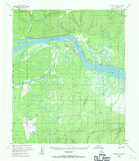
1952 Map of Tanana A-6
USGS Topo · Published 1957About this map
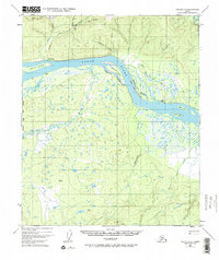
Yukon River waters dominate this mid-century Alaskan landscape, winding past a network of islands and complex sloughs. In the northeast, the Indian Village and an adjacent Cem suggest a localized center of settlement along the riverbank, while various Cabin and Cabins labels are scattered along the water's edge and deeper into the brush. The interior terrain is defined by the elevation of Gold Hill, where a Placer Mine sits near Monday Creek, marking the era's mineral extraction activities in the interior.
Find a feature on this map
26 named features on this map. Tap any name to fly to it.
Don’t see what you’re looking for? This feature index may not catch every label — zoom into the map to look around manually.
Map Details
Editions of this 1952 Tanana A-6 Map
3 editions found
Other maps of this area

1948 · Kantishna River
USGS Topo · 1:250,000

1951 · Kantishna River
USGS Topo · 1:250,000

1951 · Ruby
USGS Topo · 1:250,000

1951 · Melozitna
USGS Topo · 1:250,000

1951 · Tanana
USGS Topo · 1:250,000

1952 · Kantishna River D-5
USGS Topo · 1:63,360

1952 · Ruby D-1
USGS Topo · 1:63,360

1952 · Kantishna River
USGS Topo · 1:250,000

1952 · Kantishna River D-6
USGS Topo · 1:63,360

1952 · Tanana A-5
USGS Topo · 1:63,360