
1952 Map of Kantishna River C-6
USGS Topo · Published 1957About this map
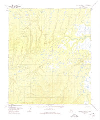
Mud River snakes through the western half of this interior Alaska wilderness, defining a landscape dominated by complex drainage patterns and low-lying wetlands. Situated within the Yukon-Koyukuk region, the area is characterized by an extensive network of small lakes and ponds that punctuate the tundra. To the southeast, the Chitanana River flows toward the quadrant boundary, marking one of the primary waterways in this largely roadless territory. Based on aerial photography from the early 1950s, the map reveals a terrain of significant elevation changes in the southwest, contrasting with the watery flats to the north. This survey documents the natural state of the Alaskan interior before modern development, offering a baseline for environmental and geographic studies of the Kantishna River basin.
Find a feature on this map
2 named features on this map. Tap any name to fly to it.
Don’t see what you’re looking for? This feature index may not catch every label — zoom into the map to look around manually.
Map Details
Editions of this 1952 Kantishna River C-6 Map
3 editions found
Other maps of this area

1948 · Kantishna River
USGS Topo · 1:250,000

1951 · Kantishna River
USGS Topo · 1:250,000

1951 · Ruby
USGS Topo · 1:250,000

1952 · Kantishna River C-5
USGS Topo · 1:63,360

1952 · Ruby B-1
USGS Topo · 1:63,360

1952 · Ruby C-1
USGS Topo · 1:63,360

1952 · Kantishna River D-5
USGS Topo · 1:63,360

1952 · Ruby D-1
USGS Topo · 1:63,360

1952 · Kantishna River
USGS Topo · 1:250,000

1952 · Kantishna River B-6
USGS Topo · 1:63,360