
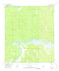
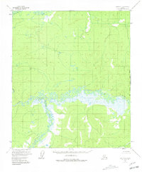
1952 Map of Ruby B-1
USGS Topo · Published 1957About this map
The Titna River meanders through this interior Alaska landscape, creating a complex network of wetlands and oxbows at the heart of the Ruby B-1 quadrangle. Compiled from 1952 aerial photography, the map reveals a wilderness where transport and survival were dictated by the flow of the Big Mud River and its various tributaries. Human presence is sparse, marked only by isolated Cabins and a lone Cabin along the riverbanks, likely serving as seasonal basecamps for trapping or exploration. To the south, California Creek and Baker Creek drain the higher elevations, illustrating the hydrological transition from upland slopes to the saturated river bottoms. This survey provides a baseline of the mid-century terrain before any significant modern alterations, documenting the exact positions of remote shelters in the Fourth Judicial Division.
Find a feature on this map
6 named features on this map. Tap any name to fly to it.
Don’t see what you’re looking for? This feature index may not catch every label — zoom into the map to look around manually.
Map Details
Editions of this 1952 Ruby B-1 Map
3 editions found
Other maps of this area

1948 · Kantishna River
USGS Topo · 1:250,000

1951 · Kantishna River
USGS Topo · 1:250,000

1951 · Ruby
USGS Topo · 1:250,000

1952 · Ruby A-2
USGS Topo · 1:63,360

1952 · Ruby B-2
USGS Topo · 1:63,360

1952 · Ruby A-1
USGS Topo · 1:63,360

1952 · Ruby C-1
USGS Topo · 1:63,360

1952 · Kantishna River C-6
USGS Topo · 1:63,360

1952 · Ruby C-2
USGS Topo · 1:63,360

1952 · Kantishna River
USGS Topo · 1:250,000