
1952 Map of Ruby A-2
USGS Topo · Published 1957About this map
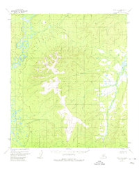
The Nowitna River meanders through the northwestern portion of this 1952 topographic survey, which reveals a vast, uninhabited stretch of the Alaska interior. The landscape is defined by the dramatic drainage basin of the Telsitna River and the high elevation point at VABM 2497 Sulukna. Produced by the Geological Survey from 1954 multiplex photogrammetry, the map records a wilderness devoid of roads or trails, where natural drainage patterns dictate the geography. Names like Mastodon Creek and American Creek suggest a history of prospecting and resource exploration common to the Yukon-Koyukuk region, even where no permanent settlements are indicated. This document captures the raw hydrography and topography of the Fourth Judicial Division before modern infrastructure reached these remote interior river systems.
Find a feature on this map
5 named features on this map. Tap any name to fly to it.
Don’t see what you’re looking for? This feature index may not catch every label — zoom into the map to look around manually.
Map Details
Editions of this 1952 Ruby A-2 Map
2 editions found
Other maps of this area

1950 · Medfra
USGS Topo · 1:250,000

1951 · Ruby
USGS Topo · 1:250,000

1952 · Ruby B-1
USGS Topo · 1:63,360

1952 · Ruby B-2
USGS Topo · 1:63,360

1952 · Ruby A-3
USGS Topo · 1:63,360

1952 · Ruby A-1
USGS Topo · 1:63,360

1952 · Ruby B-3
USGS Topo · 1:63,360

1952 · Ruby
USGS Topo · 1:250,000
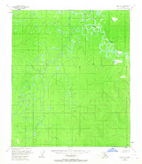
1953 · Ruby B-3
USGS Topo · 1:63,360
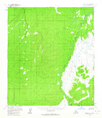
1954 · Medfra D-3
USGS Topo · 1:63,360