
1952 Map of Ruby
USGS Topo · Published 1958About this map
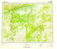
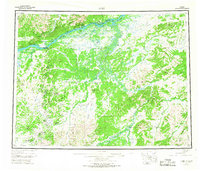
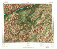
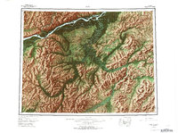
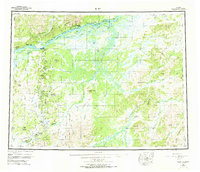
Ruby serves as the focal point of this interior Alaskan landscape along the south bank of the Yukon River. The 1950s terrain is characterized by a massive network of braided waterways and sloughs, including Big Island Slough and Kokrines Slough, which weave around islands like Ham Island and Edith Island. To the south, the Nowitna River meanders through expansive lowlands before reaching the higher elevations of the Monzonite Hills and Kokrines Hills.
Find a feature on this map
110 named features on this map. Tap any name to fly to it.
Don’t see what you’re looking for? This feature index may not catch every label — zoom into the map to look around manually.
Map Details
Editions of this 1952 Ruby Map
8 editions found
Other maps of this area

1945 · Nulato
USGS Topo · 1:250,000

1948 · Kantishna River
USGS Topo · 1:250,000

1950 · Medfra
USGS Topo · 1:250,000

1951 · Ophir
USGS Topo · 1:250,000

1951 · Nulato
USGS Topo · 1:250,000

1951 · Kantishna River
USGS Topo · 1:250,000

1951 · Ruby
USGS Topo · 1:250,000

1951 · Kateel River
USGS Topo · 1:250,000

1951 · Melozitna
USGS Topo · 1:250,000

1951 · Tanana
USGS Topo · 1:250,000