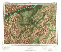
1952 Map of Ruby
USGS Topo · Published 1967About this map
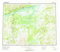
Ruby serves as the focal point for this interior Alaskan landscape, situated along the southern bank of the Yukon River where the waterway winds past Big Ruby Island Slough. This 1952 survey, with revisions into the mid-1960s, documents a region defined by its waterway-driven economy and isolated mining settlements. Small outposts and camps like Long, Placerville, and Ophir are connected by trails and rivers rather than a developed road network, reflecting the self-contained nature of mid-century frontier life.
Find a feature on this map
35 named features on this map. Tap any name to fly to it.
Don’t see what you’re looking for? This feature index may not catch every label — zoom into the map to look around manually.
Map Details
Editions of this 1952 Ruby Map
8 editions found

Other maps of this area

1945 · Nulato
USGS Topo · 1:250,000

1948 · Kantishna River
USGS Topo · 1:250,000

1950 · Medfra
USGS Topo · 1:250,000

1951 · Ophir
USGS Topo · 1:250,000

1951 · Nulato
USGS Topo · 1:250,000

1951 · Kantishna River
USGS Topo · 1:250,000

1951 · Ruby
USGS Topo · 1:250,000

1951 · Kateel River
USGS Topo · 1:250,000

1951 · Melozitna
USGS Topo · 1:250,000

1951 · Tanana
USGS Topo · 1:250,000